

Nimbus
Leveraging Axiom software, Nimbus is Intelecs' multi-role agricultural UAS platform. From precision crop monitoring and AI-driven analytics to variable-rate spraying and aerial seeding — one integrated system that sees, decides, and acts.
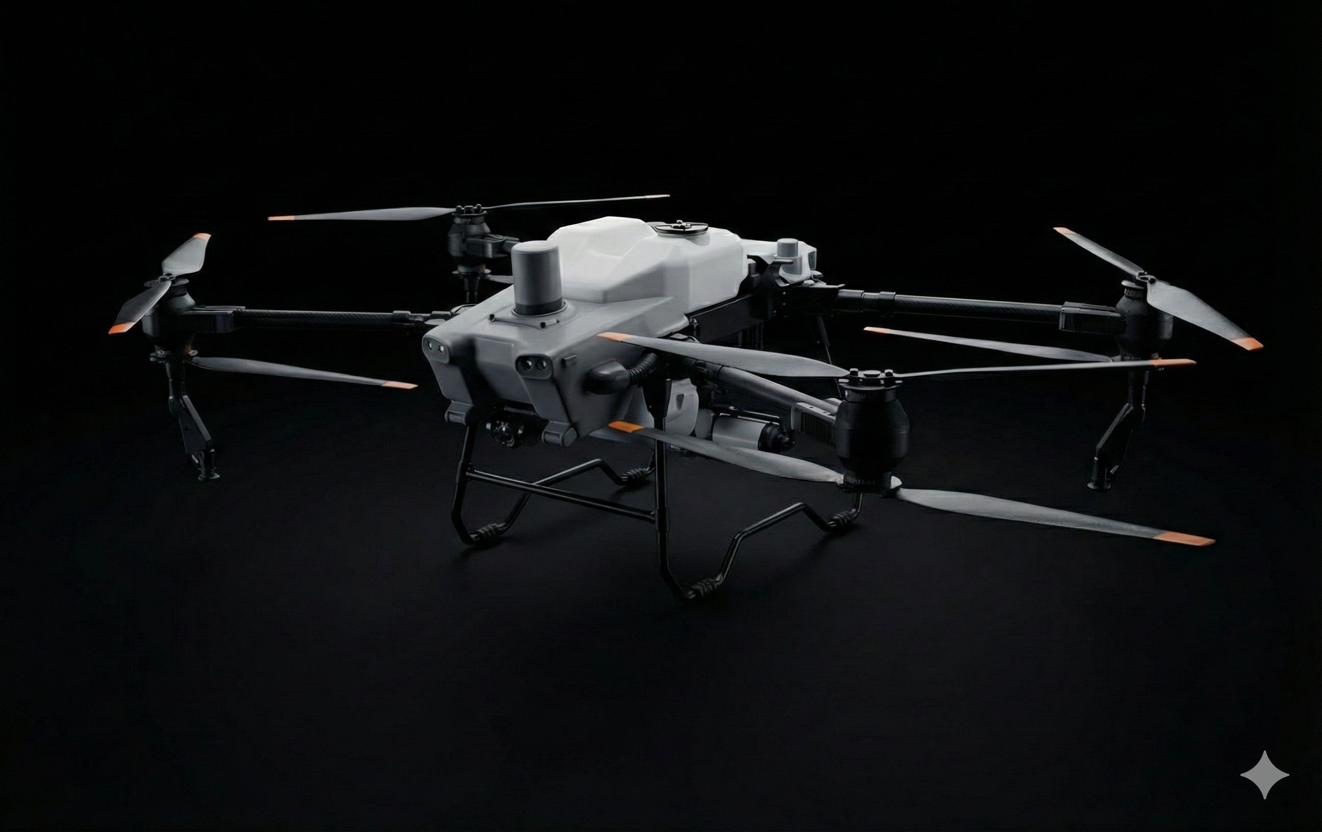
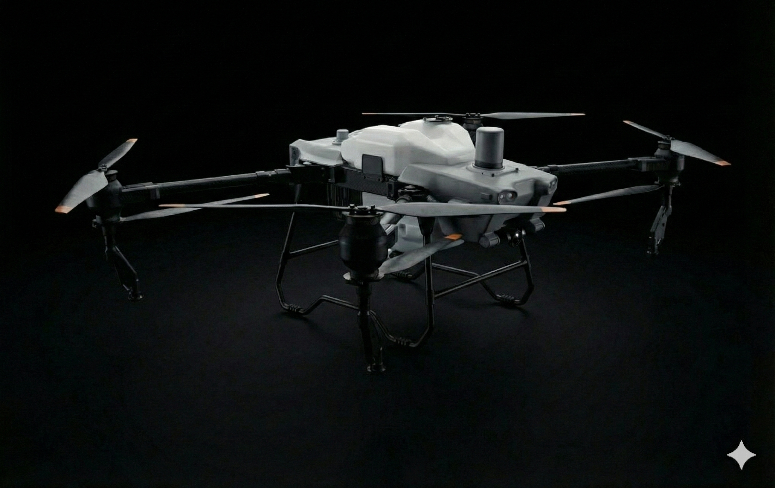
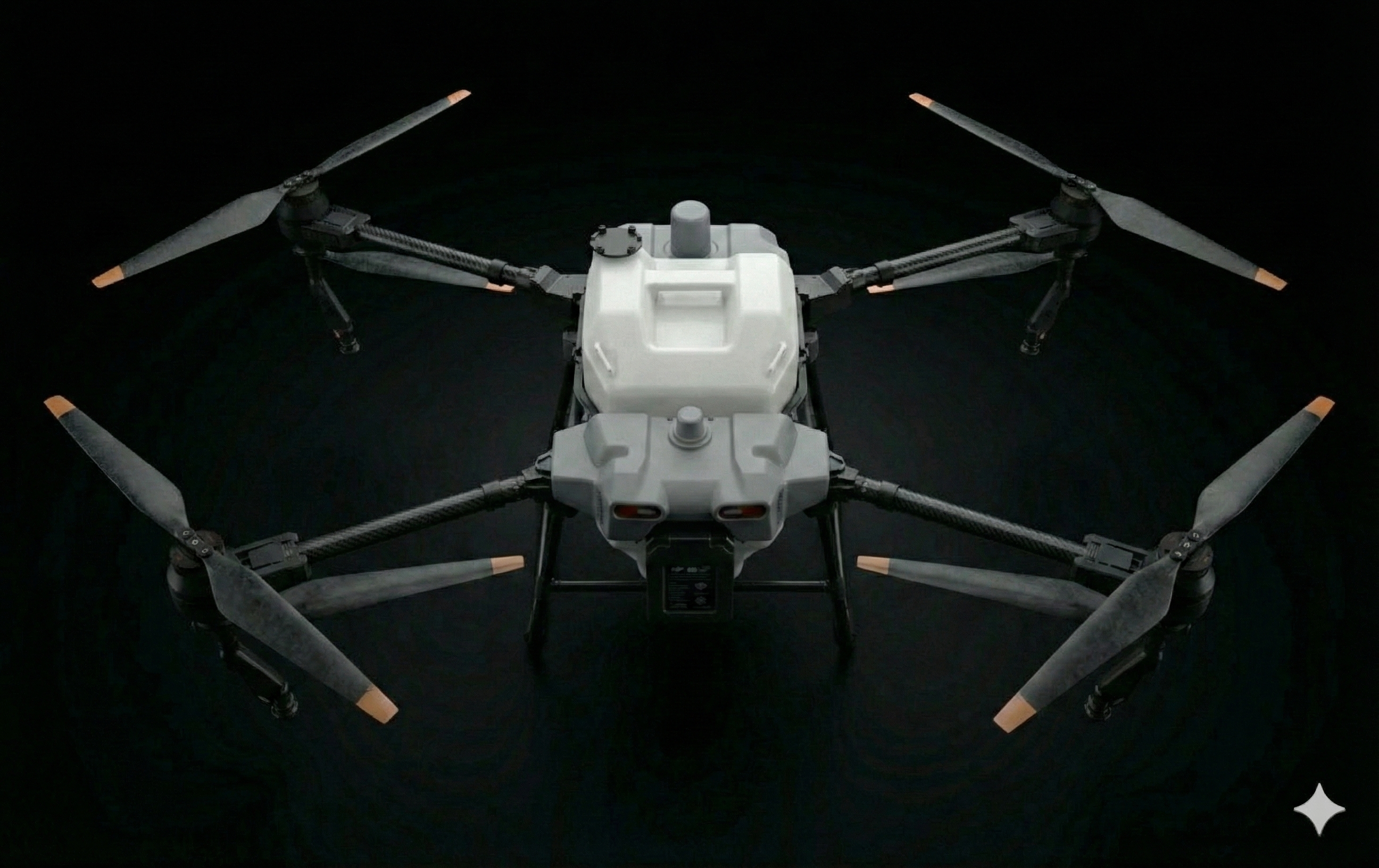
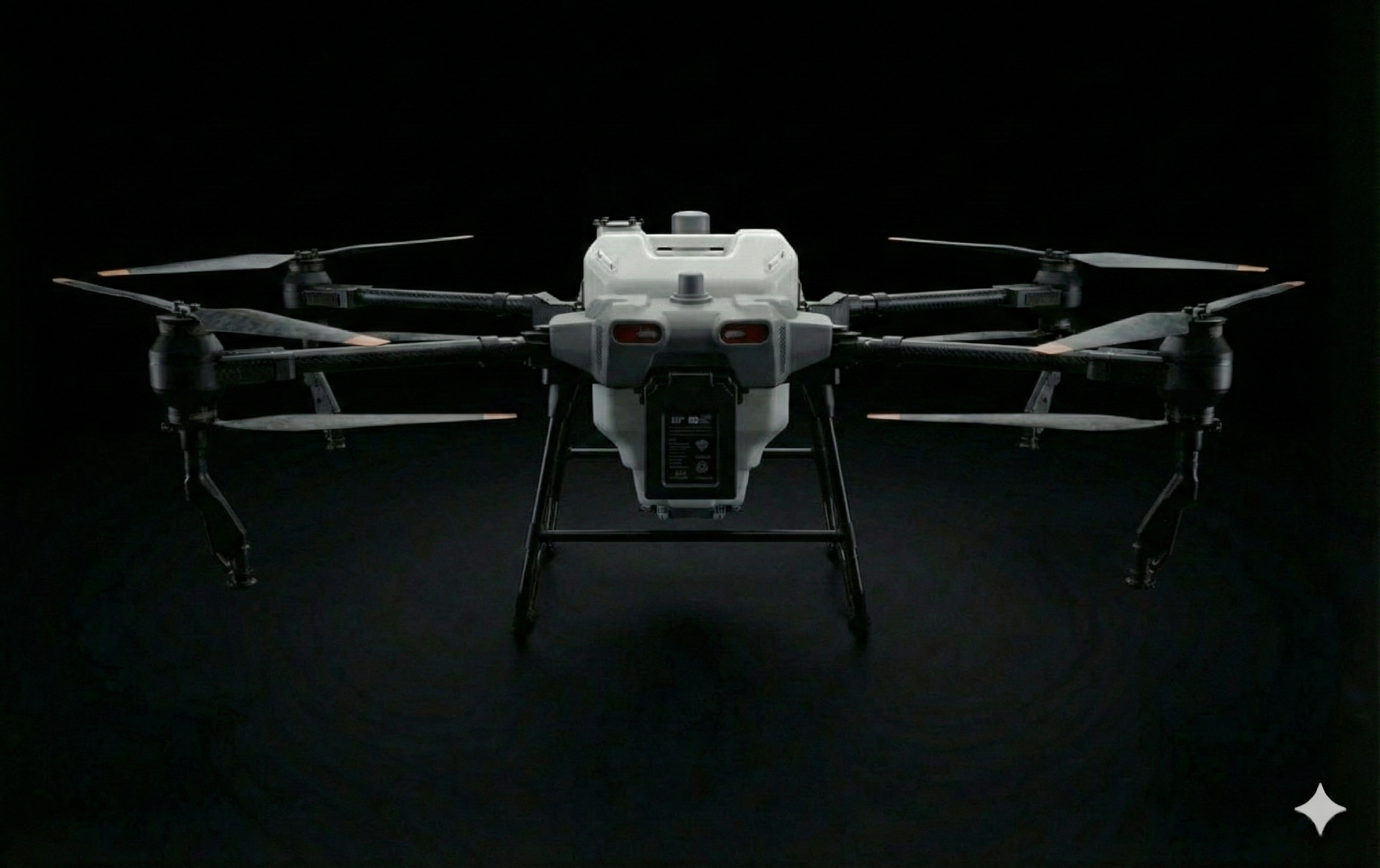
Multi-Role Agricultural Platform
Nimbus combines heavy-lift capability with precision sensors. Available in multiple configurations for survey, spray, and combined operations — covering the full precision agriculture workflow.
LiDAR + Camera Mapping
Combined LiDAR and high-resolution camera with AI-powered computer vision creates detailed 3D field maps. Identify problem areas at the individual plant level across thousands of hectares.
Nimbus Build Qualities
Purpose-built for agricultural operations with dust-resistant construction and heat-tolerant components. Operates reliably in the challenging conditions of African farms.
Large payload capacity supports spray tanks, multi-spectral sensors, and LiDAR simultaneously.
Cover vast agricultural areas efficiently in survey mode, reducing operational costs and time.
Comprehensive spectral data with NDVI, NDRE, and custom vegetation indices for detailed crop analysis.
High-efficiency treatment of large areas with variable-rate precision during optimal spray windows.
Combined LiDAR terrain following and computer vision for autonomous operation with obstacle avoidance.
Onboard AI processes data in real-time — immediate insights without cloud connectivity.
Extended endurance enables comprehensive coverage of large farms in a single mission.
Wide spray swath maximizes coverage efficiency while maintaining precise application accuracy.
Centimeter-level positioning ensures precise application and consistent survey data collection.
All-weather operation in extreme African climate conditions from cold highlands to hot lowlands.
Variable-rate application reduces pesticide and fertilizer usage while improving treatment effectiveness.
High-resolution RGB and near-infrared imaging for detailed visual and spectral analysis.
Plant Health Scan
AI-powered multi-spectral imaging detects water stress, nutrient deficiencies, and disease before visible symptoms appear. Deep learning models analyze NDVI and NDRE indices to provide quantitative health assessments across your entire operation. Early detection enables targeted intervention, reducing crop loss.
DiscoverPrecision Spraying
Variable-rate application adjusts spray volume based on real-time crop health data. Apply pesticides, herbicides, and fertilizers precisely where needed. Reduce chemical usage by up to 30% while improving treatment effectiveness.
DiscoverYield Estimation
AI-powered analysis of growth patterns and vegetation indices predicts harvest volumes weeks in advance. Plan logistics, storage, and sales with confidence. Track yield trends across seasons to optimize farming practices.
DiscoverVector Control
Aerial application for mosquito control and public health programs. Treat breeding sites, standing water, and vegetation efficiently. GPS-guided coverage ensures complete treatment while minimizing environmental impact.
DiscoverIrrigation Optimization
Thermal and multi-spectral data reveals exactly where water is needed and where it's being wasted. Generate variable-rate irrigation maps that reduce water consumption by up to 30% while improving crop health.
DiscoverSeeding Operations
Aerial seeding for reforestation, cover crops, and pasture establishment. Reach difficult terrain inaccessible to ground equipment. Variable-rate seeding optimizes distribution based on soil conditions and terrain.
DiscoverPest & Disease Detection
AI models trained on African crop diseases identify early signs of infestation before they spread. Receive alerts with GPS coordinates for targeted treatment, reducing pesticide use and preventing crop-wide outbreaks.
DiscoverMulti-Spectral Imaging
5-band sensors capture data beyond visible light, revealing crop health indicators invisible to the human eye. NDVI, NDRE, and custom indices enable comprehensive field analysis across all growth stages.
Discover3D Field Mapping
LiDAR and photogrammetry create centimeter-accurate 3D terrain models. Identify drainage issues, plan irrigation systems, and calculate stockpile volumes. Track elevation changes over time for erosion monitoring.
DiscoverFertilizer Application
Variable-rate fertilizer spreading based on soil analysis and crop health data. Apply granular or liquid fertilizers with precision, reducing waste and environmental runoff while maximizing nutrient uptake.
DiscoverWeed Detection
Computer vision identifies weed species and maps their distribution across fields. Generate spot-spray maps for targeted herbicide application, reducing chemical usage by up to 90% compared to broadcast spraying.
DiscoverAutonomous Operations
Plan missions once and execute them repeatedly throughout the growing season. Automated flight paths ensure consistent data collection for accurate change detection. Swarm capability enables multiple Nimbus units to work together on large operations.
Discover