Intelecs AI is an autonomous technology company that specializes in advanced aerospace and industrial systems.
Nimbus Capability
Thermal and multi-spectral data reveals exactly where water is needed and where it's being wasted. Generate variable-rate irrigation maps that reduce water consumption by up to 30%.
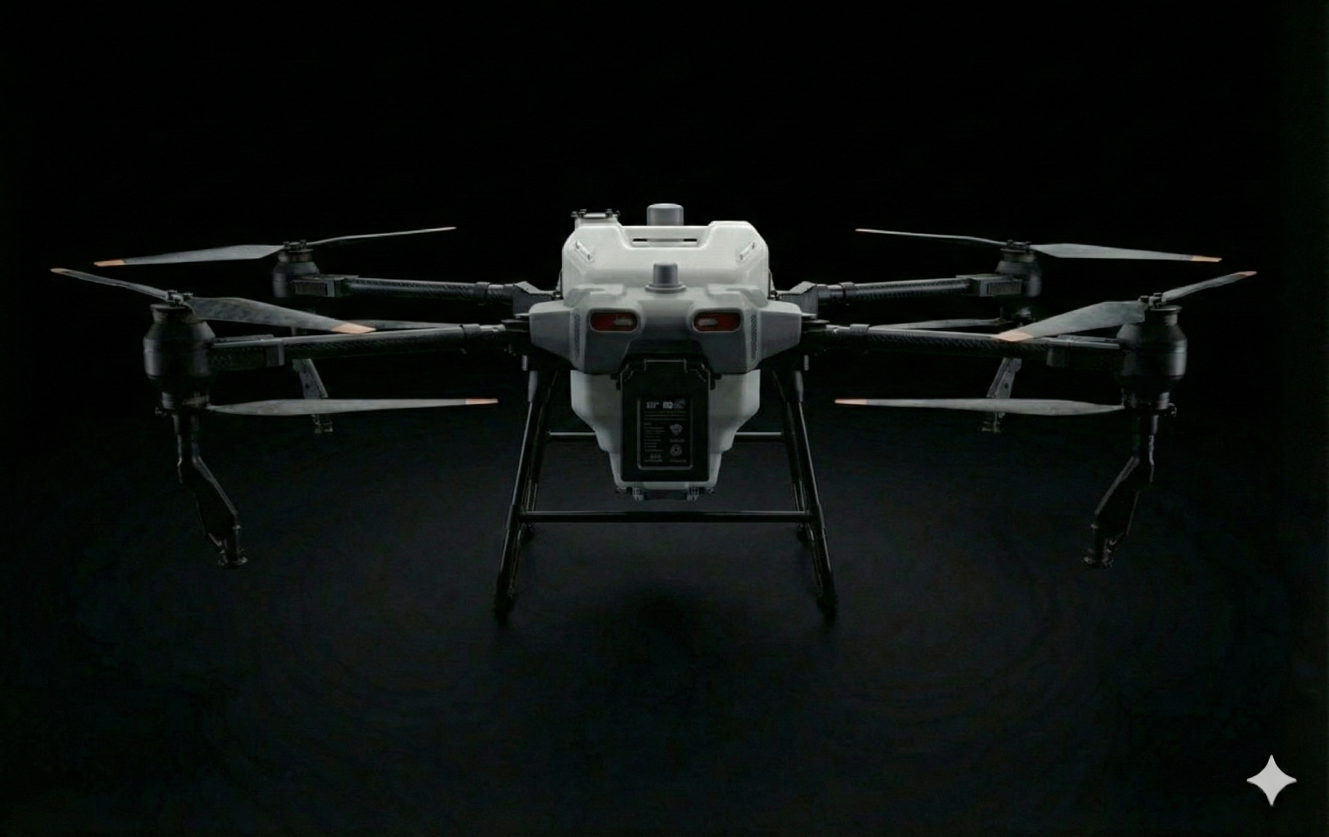
Reduce water consumption by up to 30% through precision irrigation targeting only areas that need water.
Detect water stress early and respond before crop damage occurs, maintaining optimal growth conditions.
Identify irrigation system inefficiencies, leaks, and blocked nozzles for maintenance.
Reduce water consumption through precision irrigation targeting.
High-precision thermal imaging detects subtle temperature variations.
Immediate identification of water stress for rapid response.
Centimeter-accurate maps for variable-rate irrigation systems.
Thermal imaging identifies areas of water stress by detecting temperature variations across the field. Cooler areas indicate adequate moisture while warmer spots need attention.
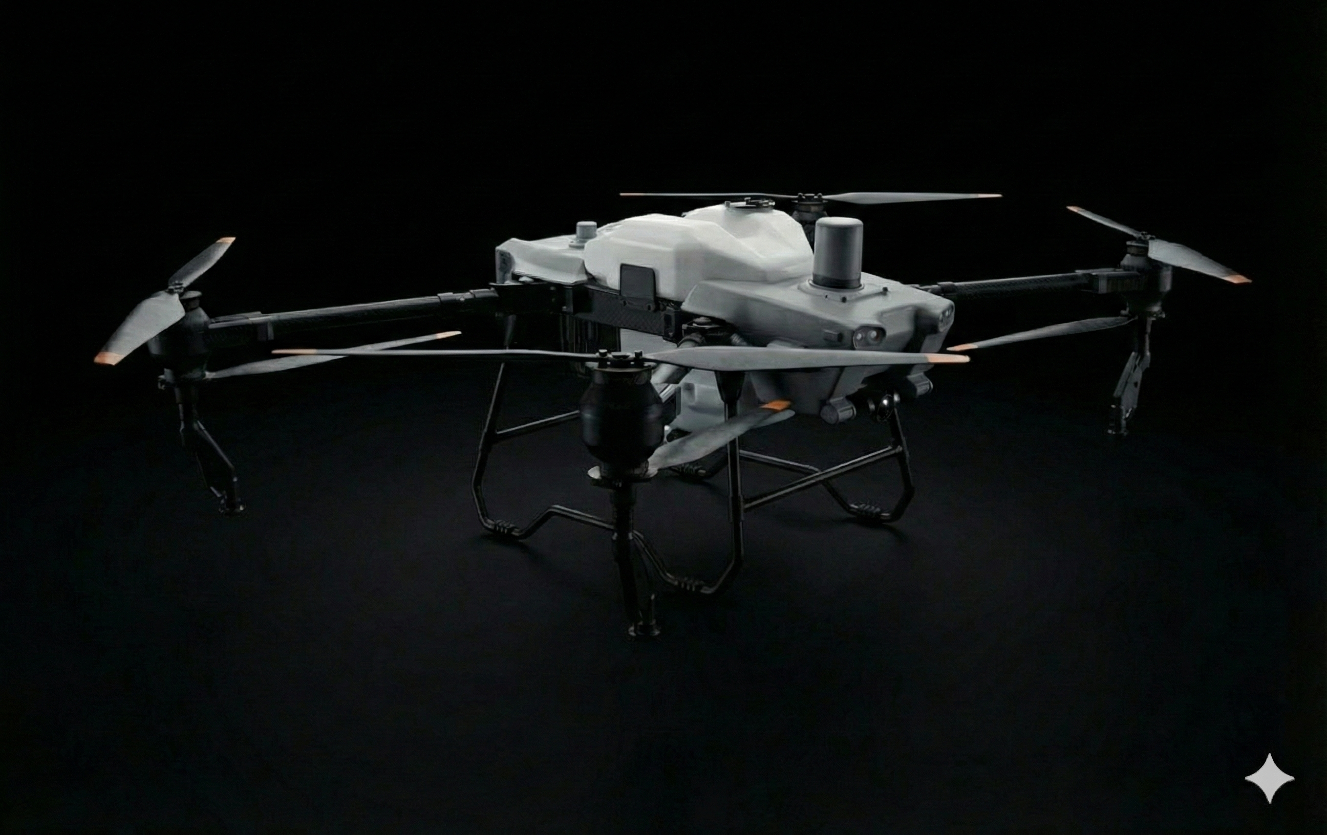
Generate prescription maps for variable-rate irrigation systems. Apply water precisely where needed, reducing waste and improving crop uniformity.
Identify areas of poor drainage and waterlogging that can damage crops. Plan remediation and adjust irrigation schedules accordingly.
Detect irrigation system problems including leaks, blocked emitters, and coverage gaps. Maintain system efficiency with regular aerial inspections.