

Intelecs AI is an autonomous technology company that specializes in advanced aerospace and industrial systems.
Nimbus Capability
LiDAR and photogrammetry create centimeter-accurate 3D terrain models. Identify drainage issues, plan irrigation systems, and calculate stockpile volumes. Track elevation changes over time for erosion monitoring.
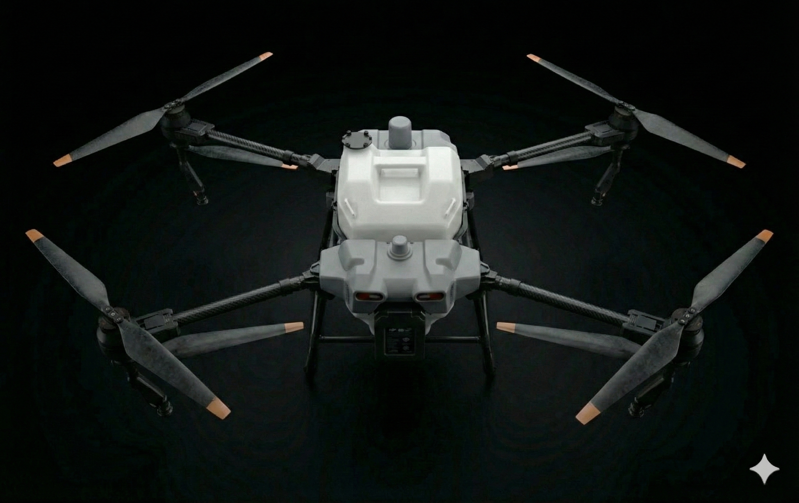
Create detailed elevation models to understand water flow, identify low spots, and plan drainage improvements.
Accurately measure stockpile volumes, excavation progress, and land movement for planning and compliance.
Track elevation changes over time to identify erosion patterns and evaluate conservation measures.
RTK-corrected positioning achieves centimeter-level elevation accuracy for precise terrain modeling.
High-density LiDAR captures detailed terrain features and vegetation structure.
High-resolution imagery enables detailed visual inspection and measurement.
Export to standard formats compatible with GIS software, farm management systems, and CAD applications.
High-density LiDAR captures millions of points per flight, creating detailed 3D models that penetrate vegetation to reveal true ground surface.
Overlapping high-resolution imagery generates detailed 3D models and orthomosaics. Combine with LiDAR for comprehensive terrain and crop analysis.
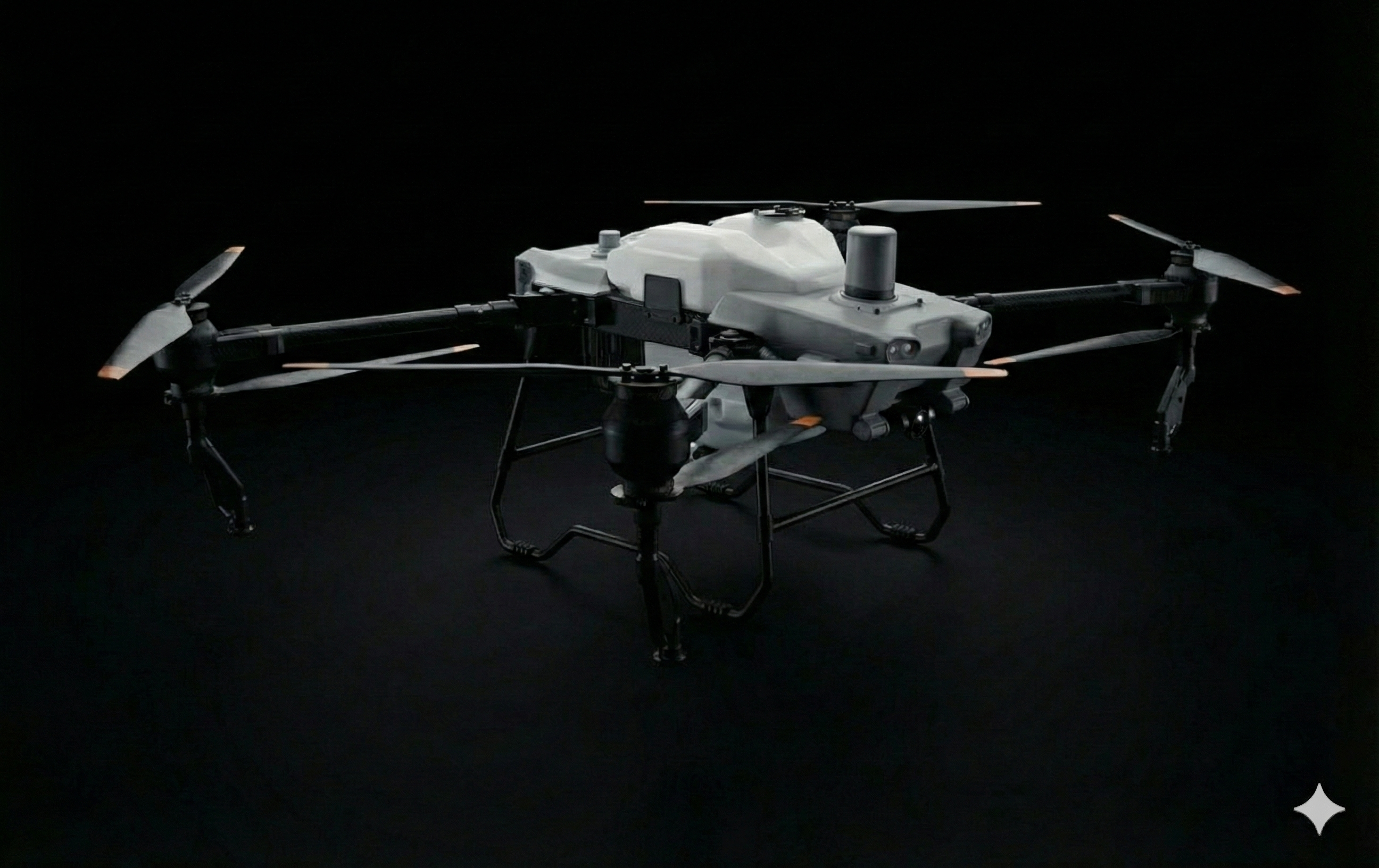
Automated water flow modeling identifies drainage patterns, ponding areas, and optimal locations for drainage improvements. Plan irrigation systems with confidence.
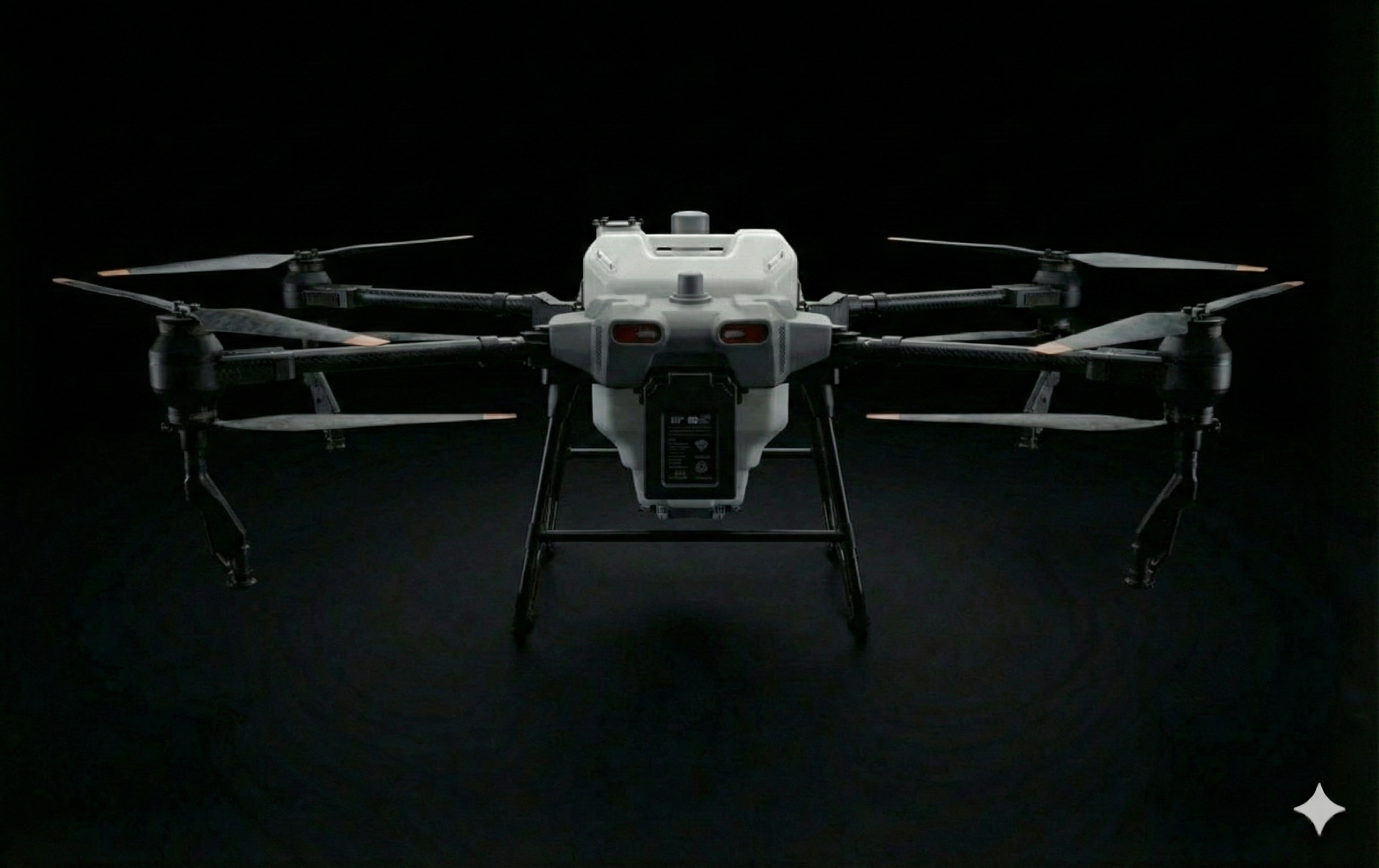
Compare 3D models over time to quantify erosion, deposition, and land movement. Track the effectiveness of conservation practices.